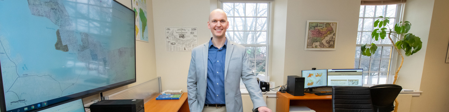
Josh MacFadyen is the first MacFadyen in several centuries not to farm. And that, in a sense, is what’s led to his life’s work as an associate professor in the Applied Communication, Leadership and Culture (ACLC) program at the University of Prince Edward Island and a Canada Research Chair (Tier II) in geospatial humanities.
MacFadyen studies the environmental history of Canada, with a focus on Atlantic Canada. He’s specifically interested in food systems and how humans, and even animals, have fed themselves over time and how they stayed warm in a world before fossil fuels.
“And that could have some applications for how we might right [things] going forward,” he says, referring to perhaps novel ways to tackle climate change by learning from the past.
MacFadyen was trained as an historian, but over time, because he was using a lot of technology in his work, he became a digital historian.
“Digital historian is just a fancy way of saying we use spatial analysis, geographic information systems, and other digital tools related to large datasets such as historical Censuses to understand questions of how general land use and energy systems have changed, and how we've arrived at the modern world,” he says.
He says Atlantic Canada is the right place to be for his studies as it still has large areas that are predominantly agricultural, though that is gradually changing. For example, the move away from farming isn’t limited to his family. In fact, it’s long been a trend on the island, which has seen a 20 per cent decrease in farmland in the last 20 years. It’s a fact he’s considering in his field of study.
He uses Census data to get a granular look at such trends and he uses remote sensing — everything from aerial photos and satellite, to light detection and ranging (LiDAR) — to dig deeper.
“The sources I've been able to use most consistently are aerial photos — we've got the whole province covered right back to 1935,” he says, and adds that he has used that data to develop products that would be useful to historians. His current is a portal for exploring maps, atlases, aerial photos and geospatial data related to the history of Prince Edward Island that resides at projects.upei.ca/geolab.
To develop these tools, MacFadyen has used the services of the Digital Research Alliance of Canada through ACENET by participating in workshops and training modules for the humanities and social sciences.
“They’re just tremendous,” he says of the workshops and networking. “I just thought ‘Wow, what a great way to join this regional, highly skilled and very active group of people who are trying to create resources for the humanities and social sciences in Atlantic Canadian universities.’ They're offering these regular training modules, and some are specifically for us.”
Spring, 2023